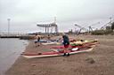
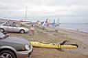
Kayak Launch Location
![]()
![]()
Directions
(The
only accurate map of the Quonset Point area, 3 meg download.)
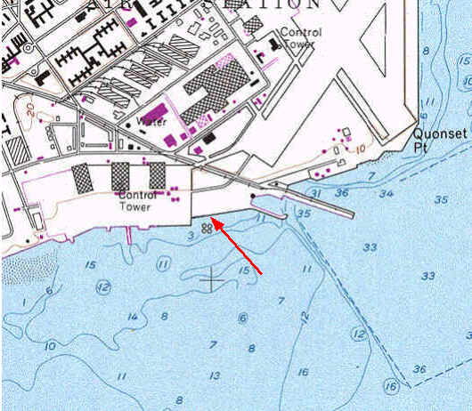
Quonset Point Beach, now named Compass Rose Beach, North Kingston: (leased to Quonset Dev Corp by RIDOT) This southerly exposed beach is accessible by following signs to the Quonset Point State Airport or the high speed ferry terminal.
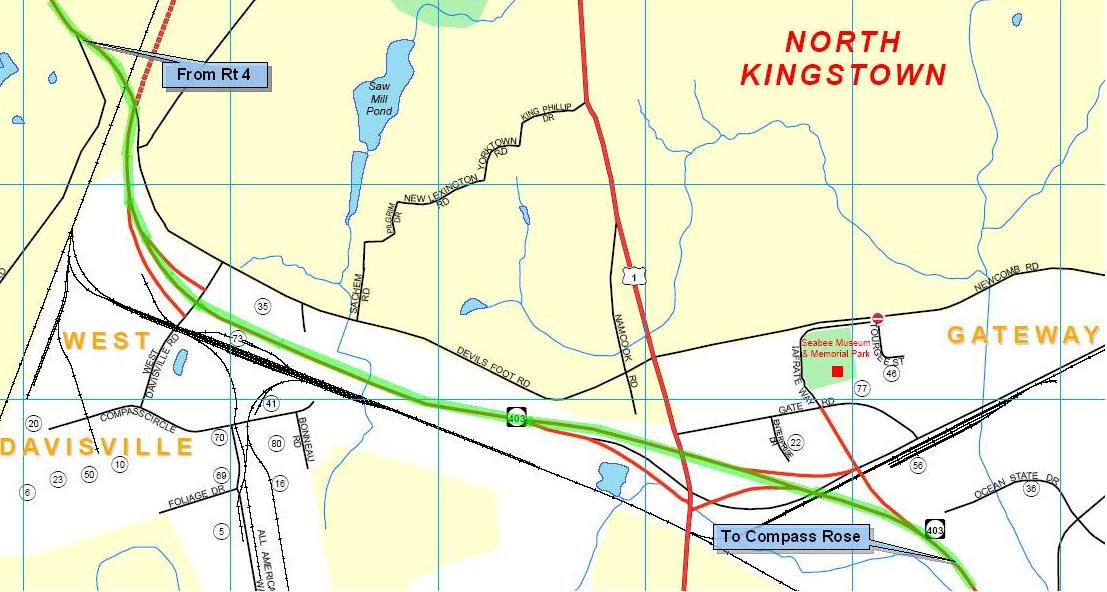
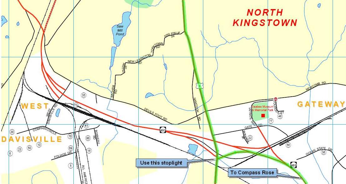
Directions from Rt 95, exit to Rt 4 south, take
Exit 7 at Rt 402/403 (to Quonset Pt) and continue on Rt 403. After
going over the new railroad overpass, (map)
stay on the expressway, (do not exit at W. Davisville Rd.) Continue
on the expressway and follow the signs to Quonset Pt.
Directions
from the south on Rt 1. At the Rt 4/Rt 1 fork, just north of the
access highway to the Jamestown Bridge, do not take Rt 4 at
the stoplight, but fork to the right and stay on Rt 1 to North
Kingston. Go 4 miles to the new overpass(map), (map)
at the first stoplight take the exit to Rt 403 east to Quonset Pt.
You may also take the second stoplight on the north side of the
overpass, but it is not as direct.
Directions from the
north on Rt 1. Just past the stoplight at Devils Foot Rd., turn
left at the second stoplight (map)
to Rt 403 east on the overpass. You may also take the first stoplight
on the north side of the overpass, but it is not as direct.
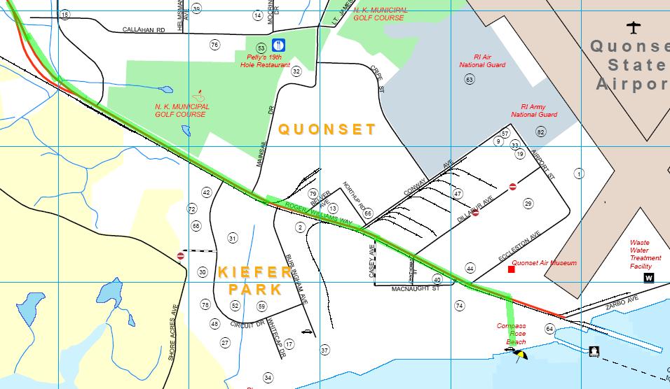
The beach is located on the right, (map) via either of two dirt roads just beyond the General Dynamics buildings. The beach is very popular with the small (Hobie type) catamaran sailboats. There are no sanitary facilities, but the new high speed ferry terminal next to the site has portable toilets. Parking is on dirt road above the beach.